Author: John Bartholomew & Son Ltd.
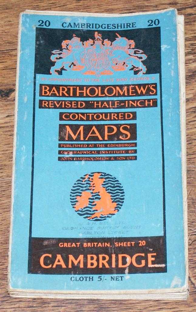
Title: Cambridge - Bartholomew's Revised "Half-Inch" Contoured Maps, Great Britain Sheet 20
Description: John Bartholomew & Son Ltd. Edinburgh, 1954. Revised Edition, Softcover. Very Good Condition/No Dust Jacket. Single sheet map is cloth backed and has blue card covers. Sheet is folded as for original sale. Scale 1:126,720 or Half-Inch to Mile. Map is coloured according to contour and main roads are shown in red. Rivers, railways, canals, etc. are clearly indicated. A and B road numbers are given. County boundaries and Overhead Electrical Power Lines also shown. Covers are worn and the front has a faint stamp mark. Sheet is slightly worn and darkened around the edges. The folds are a little worn, rubbed and deteriorated. Area covered includes; Cambridge, Huntingdon, Bedford, Kimbolton, Royston, Ely, Chatteris, Northampton (part), Wellingborough, Kettering, Ramsey, St. Ives, Godmanchester. Size: 84x58cm. Single sheet map/chart which is suitable for framing. Quantity Available: 1. Shipped Weight: under 1 kg. Pictures of this item not already displayed here available upon request. Inventory No: 45119093010. ISBN: 0140063803
Keywords: BZDB4 Maps; East Anglia, fenlands, Cambridgeshire, Norfolk, Suffolk. John Bartholomew & Son Ltd. Cambridge - Bartholomew's Revised "Half-Inch" Contoured Maps, Great Britain Sheet 20 East Anglia, fenlands, Cambridgeshire, Norfolk, Suffolk
See more books from our catalog: Maps
Title: Cambridge - Bartholomew's Revised "Half-Inch" Contoured Maps, Great Britain Sheet 20
Description: John Bartholomew & Son Ltd. Edinburgh, 1954. Revised Edition, Softcover. Very Good Condition/No Dust Jacket. Single sheet map is cloth backed and has blue card covers. Sheet is folded as for original sale. Scale 1:126,720 or Half-Inch to Mile. Map is coloured according to contour and main roads are shown in red. Rivers, railways, canals, etc. are clearly indicated. A and B road numbers are given. County boundaries and Overhead Electrical Power Lines also shown. Covers are worn and the front has a faint stamp mark. Sheet is slightly worn and darkened around the edges. The folds are a little worn, rubbed and deteriorated. Area covered includes; Cambridge, Huntingdon, Bedford, Kimbolton, Royston, Ely, Chatteris, Northampton (part), Wellingborough, Kettering, Ramsey, St. Ives, Godmanchester. Size: 84x58cm. Single sheet map/chart which is suitable for framing. Quantity Available: 1. Shipped Weight: under 1 kg. Pictures of this item not already displayed here available upon request. Inventory No: 45119093010. ISBN: 0140063803
Keywords: BZDB4 Maps; East Anglia, fenlands, Cambridgeshire, Norfolk, Suffolk. John Bartholomew & Son Ltd. Cambridge - Bartholomew's Revised "Half-Inch" Contoured Maps, Great Britain Sheet 20 East Anglia, fenlands, Cambridgeshire, Norfolk, Suffolk
Price: GBP 17.00 = appr. US$ 24.28 Seller: Bailgate Books Ltd
- Book number: 45119093010
- Book number: 45119093010
See more books from our catalog: Maps