Author: John Bartholomew & Son Ltd.
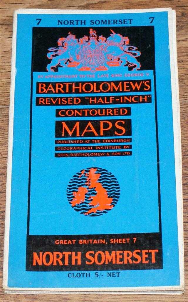
Title: North Somerset - Bartholomew's Revised "Half-Inch" Contoured Maps, Great Britain Sheet 7
Description: John Bartholomew & Son Ltd. Edinburgh, 1960. Revised Edition, Softcover. Very Good Condition/No Dust Jacket. Single sheet map is cloth backed and has blue card covers. Sheet is folded as for original sale. Scale 1:126,720 or Half-Inch to Mile. Map is coloured according to contour and main roads are shown in red. Rivers, railways, canals, etc. are clearly indicated. A and B road numbers are given. County boundaries and Overhead Electrical Power Lines also shown. Covers are clean. Sheet is very slightly worn and darkened around the edges and some folds. Area covered includes; Bristol, Cardiff, Newport, Weston Super Mare, Caerphilly, River Severn, Severn Road Bridge (Proposed), Chepstow, Portshead, Mendip Hills, Bath, Radstock, Frome, Warminster, Chippenham, Tetbury, Devizes, Salisbury Plain, Glastonbury, Bridgwater. Size: 59x86cm. Single sheet map/chart which is suitable for framing. Quantity Available: 1. Shipped Weight: under 1 kg. Pictures of this item not already displayed here available upon request. Inventory No: 45119093003. ISBN: 0140063803
Keywords: BZDB4 Maps; West Country - Cornwall, Devon, Somerset & Dorset. John Bartholomew & Son Ltd. North Somerset - Bartholomew's Revised "Half-Inch" Contoured Maps, Great Britain Sheet 7 West Country - Cornwall, Devon, Somerset & Dorset
See more books from our catalog: Maps
Title: North Somerset - Bartholomew's Revised "Half-Inch" Contoured Maps, Great Britain Sheet 7
Description: John Bartholomew & Son Ltd. Edinburgh, 1960. Revised Edition, Softcover. Very Good Condition/No Dust Jacket. Single sheet map is cloth backed and has blue card covers. Sheet is folded as for original sale. Scale 1:126,720 or Half-Inch to Mile. Map is coloured according to contour and main roads are shown in red. Rivers, railways, canals, etc. are clearly indicated. A and B road numbers are given. County boundaries and Overhead Electrical Power Lines also shown. Covers are clean. Sheet is very slightly worn and darkened around the edges and some folds. Area covered includes; Bristol, Cardiff, Newport, Weston Super Mare, Caerphilly, River Severn, Severn Road Bridge (Proposed), Chepstow, Portshead, Mendip Hills, Bath, Radstock, Frome, Warminster, Chippenham, Tetbury, Devizes, Salisbury Plain, Glastonbury, Bridgwater. Size: 59x86cm. Single sheet map/chart which is suitable for framing. Quantity Available: 1. Shipped Weight: under 1 kg. Pictures of this item not already displayed here available upon request. Inventory No: 45119093003. ISBN: 0140063803
Keywords: BZDB4 Maps; West Country - Cornwall, Devon, Somerset & Dorset. John Bartholomew & Son Ltd. North Somerset - Bartholomew's Revised "Half-Inch" Contoured Maps, Great Britain Sheet 7 West Country - Cornwall, Devon, Somerset & Dorset
Price: GBP 8.00 = appr. US$ 11.42 Seller: Bailgate Books Ltd
- Book number: 45119093003
- Book number: 45119093003
See more books from our catalog: Maps