Author: Ordnance Survey
Title: 1:2,500 Ordnance Survey Map, Yorkshire (West Riding) Sheet CCXLVII.9. Edition of 1932, Re-Surveyed 1888, Revised 1930, Re-Levelled 1931, 75/32 50/39, Kirkheaton and Area to East
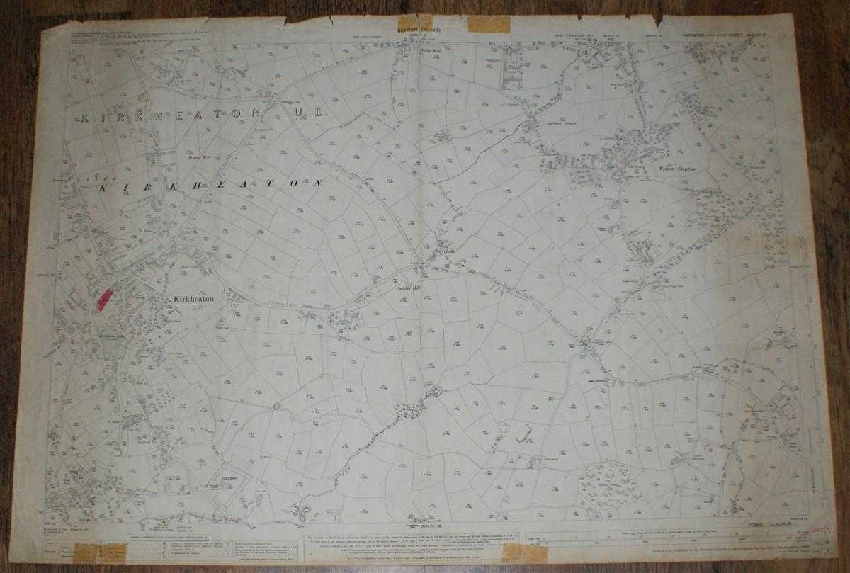
Description: Map Ordnance Survey, 1932. Revised Edition, Softcover. Good Condition/No Dust Jacket. Black and white map. Map is lightly marked and is slightly darkened towards the edges. Top and bottom edges have small tears and tape stains in the margins. Some light annotation and one small coloured in block of land. Three vertical folds with associated wear. Other light creasing. Handwritten figures in bottom right corner margin. Reverse is has light smudging with darkening to the edges and broad darkened strips down the left and right hand edges. 1:2,500 Ordnance Survey Map, Yorkshire (West Riding) Sheet CCXLVII.9. Edition of 1932, Re-Surveyed 1888, Revised 1930, Re-Levelled 1931, 75/32 50/39, Kirkheaton and Area to East Includes: Kirkheaton U.D. (part), Kirkheaton, Kirkheaton Mills, Stafford Hill, Cockley Hill, Upper Hopton, Hollin Hall, Heaton Moor Bellstring Lane,Cockley Hill Lane, Highgate Lane, Heaton Moor Lane, New Road, St. Mary's Lane Information included is buildings, property/field boundaries, acreage, parish and other boundaries, footpaths, tracks, roads, railways, watercourses, orchards and forestation, levels, earthworks, antiquities, etc Size: 73cm by 104cm. Item Type: Map. No dust jacket, as published. Single sheet map/chart which is suitable for framing and will be shipped rolled and in a cardboard tube.. Quantity Available: 1. Shipped Weight: under 1 kg. Pictures of this item not already displayed here available upon request. Inventory No: 45116121305. ISBN: 0750920963
Keywords: BZDB4 map, British history Maps; British History; England; 1930s; Yorkshire. Ordnance Survey 1:2,500 Ordnance Survey Map, Yorkshire (West Riding) Sheet CCXLVII.9. Edition of 1932, Re-Surveyed 1888, Revised 1930, Re-Levelled 1931, 75/32 50/39, Kirkheaton a
See more books from our catalog: Maps
Title: 1:2,500 Ordnance Survey Map, Yorkshire (West Riding) Sheet CCXLVII.9. Edition of 1932, Re-Surveyed 1888, Revised 1930, Re-Levelled 1931, 75/32 50/39, Kirkheaton and Area to East
Description: Map Ordnance Survey, 1932. Revised Edition, Softcover. Good Condition/No Dust Jacket. Black and white map. Map is lightly marked and is slightly darkened towards the edges. Top and bottom edges have small tears and tape stains in the margins. Some light annotation and one small coloured in block of land. Three vertical folds with associated wear. Other light creasing. Handwritten figures in bottom right corner margin. Reverse is has light smudging with darkening to the edges and broad darkened strips down the left and right hand edges. 1:2,500 Ordnance Survey Map, Yorkshire (West Riding) Sheet CCXLVII.9. Edition of 1932, Re-Surveyed 1888, Revised 1930, Re-Levelled 1931, 75/32 50/39, Kirkheaton and Area to East Includes: Kirkheaton U.D. (part), Kirkheaton, Kirkheaton Mills, Stafford Hill, Cockley Hill, Upper Hopton, Hollin Hall, Heaton Moor Bellstring Lane,Cockley Hill Lane, Highgate Lane, Heaton Moor Lane, New Road, St. Mary's Lane Information included is buildings, property/field boundaries, acreage, parish and other boundaries, footpaths, tracks, roads, railways, watercourses, orchards and forestation, levels, earthworks, antiquities, etc Size: 73cm by 104cm. Item Type: Map. No dust jacket, as published. Single sheet map/chart which is suitable for framing and will be shipped rolled and in a cardboard tube.. Quantity Available: 1. Shipped Weight: under 1 kg. Pictures of this item not already displayed here available upon request. Inventory No: 45116121305. ISBN: 0750920963
Keywords: BZDB4 map, British history Maps; British History; England; 1930s; Yorkshire. Ordnance Survey 1:2,500 Ordnance Survey Map, Yorkshire (West Riding) Sheet CCXLVII.9. Edition of 1932, Re-Surveyed 1888, Revised 1930, Re-Levelled 1931, 75/32 50/39, Kirkheaton a
Price: GBP 12.00 = appr. US$ 17.14 Seller: Bailgate Books Ltd
- Book number: 45116121305
- Book number: 45116121305
See more books from our catalog: Maps