Author: Historische kaart van Drenthe
Title: Carthography Drenthe ca 1920 | Map of Provincie Drenthe in de helft der 18e eeuw, maatstaf 1:425000, 1 p.
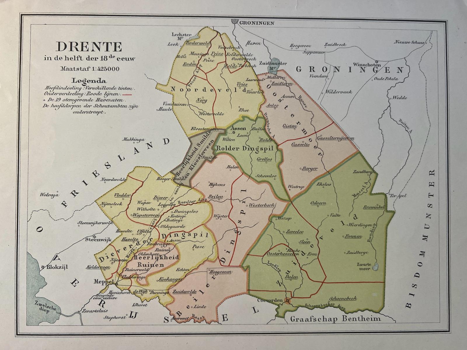
Description: Coloured lithography, 17 x 25 cm. With Rolder Dingspil, Oostermoer, Zuideveld, Noordeveld, Heerlijkheid Smilde en Kloosterveen, Dieverder Dingspil, Beiler Dingspil en Heerlijkheid Ruinen.
Keywords: Topography
Title: Carthography Drenthe ca 1920 | Map of Provincie Drenthe in de helft der 18e eeuw, maatstaf 1:425000, 1 p.
Description: Coloured lithography, 17 x 25 cm. With Rolder Dingspil, Oostermoer, Zuideveld, Noordeveld, Heerlijkheid Smilde en Kloosterveen, Dieverder Dingspil, Beiler Dingspil en Heerlijkheid Ruinen.
Keywords: Topography
Price: EUR 36.30 = appr. US$ 39.45 Seller: Antiquariaat Arine van der Steur
- Book number: 67399
- Book number: 67399