Author: Blondel la Rougery (Paris). Auteur du texte
Title: (PLATTEGROND / KAART - CITY MAP / MAP) Empire des Indes
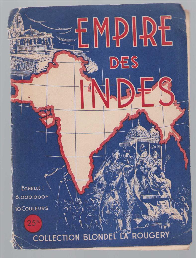
Description: Blondel la Rougery (Paris) 1942, 1942. Échelle(s): 1:6 000 000 Cover with loose map -p 70 x 61 m.. Échelle(s): 1:6 000 000 trefwoorden: map carte image fixe image still image Zeer goed.
Keywords: Plattegrond / kaart - city map / map
See more books from our catalog: India
Title: (PLATTEGROND / KAART - CITY MAP / MAP) Empire des Indes
Description: Blondel la Rougery (Paris) 1942, 1942. Échelle(s): 1:6 000 000 Cover with loose map -p 70 x 61 m.. Échelle(s): 1:6 000 000 trefwoorden: map carte image fixe image still image Zeer goed.
Keywords: Plattegrond / kaart - city map / map
Price: EUR 30.00 = appr. US$ 32.61 Seller: De Kantlijn
- Book number: 79607
- Book number: 79607
See more books from our catalog: India