Author:
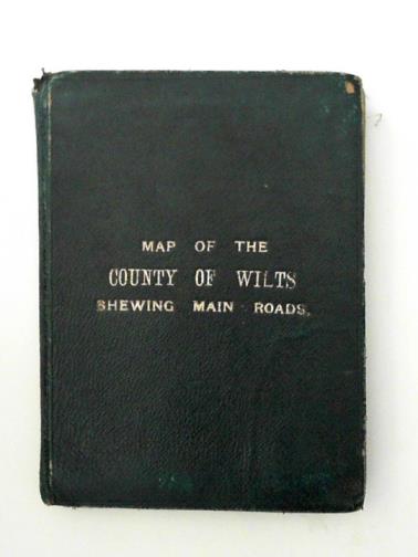
Title: Map of the County of Wilts shewing main road
Description: Stanford's, 1900. Used - Good. Good map . Scale 2"" to 1 mile; overall size 49.5cm x 67cm; linen backed, divided into 25 panels, folded; in dark green leather. Undated - possibly 1900, but could be earlier. Rather worn & soiled by age & use; small loss to leather at head of 'spine'. Photo:http://cibimages.blob.core.windows.net/img-1/stand_102719_jpg.jpg.
Keywords:
Price: GBP 22.50 = appr. US$ 32.13 Seller: Cotswold Internet Books
- Book number: BOOKS324564I
- Book number: BOOKS324564I