Author:
Title: The map of England and Wales showing railways, roads, and distances
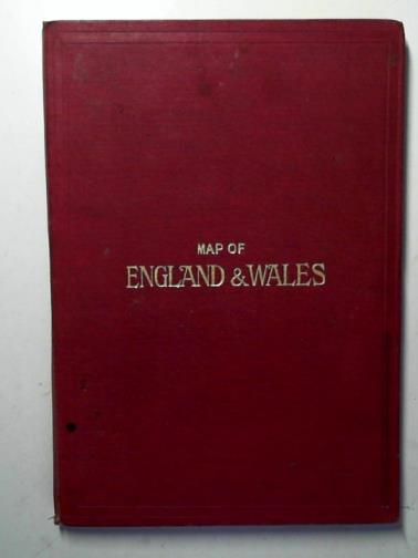
Description: The Chart Publishing Co. / G. W. Bacon & Co. 1920. Used - Good. Good map in red cloth boards . Copyright code J 1563. Undated, c. 1919-1922 (references the Ministry of Transport). Scale: 1 inch = 8 miles. Red cloth hardcover folder with two folding maps - North and South Sheet - sectionalised and mounted on linen attached to inner boards. Published price 47/6. Shows the big four motorways, no mention of airports. Maps in good, clean condition. A few light spots to linen backing. Gilt lettering on front board. Several small ink stains to red cloth; corners of boards bumped; a little wear to spine foot. Photo:http://cibimages.blob.core.windows.net/img-1/stand_94938_jpg.jpg.
Keywords:
Title: The map of England and Wales showing railways, roads, and distances
Description: The Chart Publishing Co. / G. W. Bacon & Co. 1920. Used - Good. Good map in red cloth boards . Copyright code J 1563. Undated, c. 1919-1922 (references the Ministry of Transport). Scale: 1 inch = 8 miles. Red cloth hardcover folder with two folding maps - North and South Sheet - sectionalised and mounted on linen attached to inner boards. Published price 47/6. Shows the big four motorways, no mention of airports. Maps in good, clean condition. A few light spots to linen backing. Gilt lettering on front board. Several small ink stains to red cloth; corners of boards bumped; a little wear to spine foot. Photo:http://cibimages.blob.core.windows.net/img-1/stand_94938_jpg.jpg.
Keywords:
Price: GBP 45.00 = appr. US$ 64.26 Seller: Cotswold Internet Books
- Book number: BOOKS317062I
- Book number: BOOKS317062I