Author: antique map (kaart).
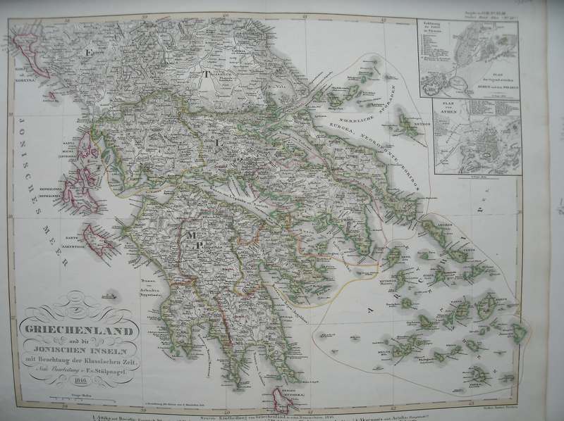
Title: Griechenland und die Ionischen Inseln. (Antique map of Greece)
Description: Gotha, Justus Perthes, 1851. Steelengraving by F. von Stulpnagel. Orig.coloured in outlines. From: Stieler's Hand-Atlas. Plate size ca.40x32 cm.
Keywords: cartografie topography topografie maps griekenland kartografie oude grafiek graphic art cartograpy
Price: EUR 120.00 = appr. US$ 130.42 Seller: Antiquariaat Victory
- Book number: 17884
- Book number: 17884