Author: antique map (kaart).
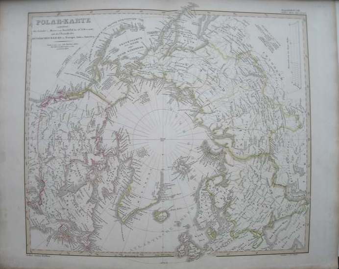
Title: (Russia). Polar Karte. Die Laender und Meere vom Nord-Pol mit uebersicht des Russischen Reichs (antique map of north pole surroundings, map)
Description: Steelengraving by F. von Stulpnagel. From: Stieler's Hand-atlas, 1851. Orig.coloured in outlines. Plate size ca.37x32 cm.
Keywords: rusland russia cartografie polar circle topography topografie prints maps kartografie poolstreken grafiek graphic art
Price: EUR 125.00 = appr. US$ 135.86 Seller: Antiquariaat Victory
- Book number: 17827
- Book number: 17827