Author:
Title: Black&Apos;S Road and Railway Guide to England and Wales Containing Plans of the Principal Cities Maps and Charts, and a List of Hotels
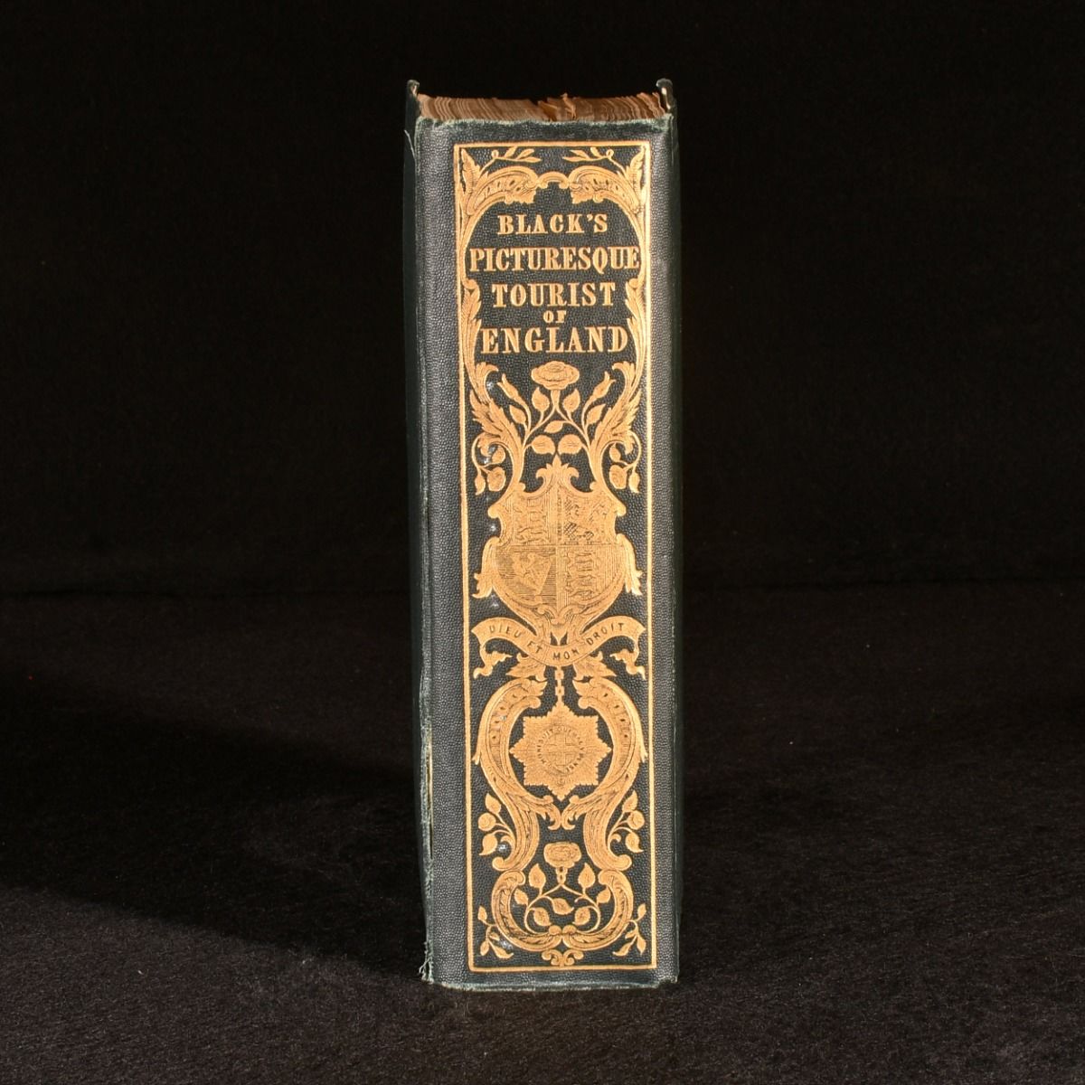
Description: Edinburgh , Adam and Charles Black, 1887. Cloth. A pleasing copy of Black's road and railway guide to England and Wales, with an array of detailed folding maps throughout. A later edition of this work.In the publisher's original cloth binding, with pleasing decorative gilt to the spine and front board.A thorough travel guide to the road and railway routes, excursions and points of interest across England and Wales. With details concerning locations' historical sites and options for activities. Richly illustrated throughout with plates, including thirty-four plans of towns, and twenty maps. Thirty-five of these plates are folding. Collated, complete. In the original cloth binding. Externally, very smart. With light rubbing and bumping to the extremities. Hinges and joints are tender. Internally, firmly bound with bright and clean pages. With a bookplate of one Virginia Surtees to the front endpaper. Very Good . Ill.: Not Stated. Very Good .
Keywords: Travel Maps England Wales Maps Not Stated
See more books from our catalog: Europe
Title: Black&Apos;S Road and Railway Guide to England and Wales Containing Plans of the Principal Cities Maps and Charts, and a List of Hotels
Description: Edinburgh , Adam and Charles Black, 1887. Cloth. A pleasing copy of Black's road and railway guide to England and Wales, with an array of detailed folding maps throughout. A later edition of this work.In the publisher's original cloth binding, with pleasing decorative gilt to the spine and front board.A thorough travel guide to the road and railway routes, excursions and points of interest across England and Wales. With details concerning locations' historical sites and options for activities. Richly illustrated throughout with plates, including thirty-four plans of towns, and twenty maps. Thirty-five of these plates are folding. Collated, complete. In the original cloth binding. Externally, very smart. With light rubbing and bumping to the extremities. Hinges and joints are tender. Internally, firmly bound with bright and clean pages. With a bookplate of one Virginia Surtees to the front endpaper. Very Good . Ill.: Not Stated. Very Good .
Keywords: Travel Maps England Wales Maps Not Stated
Price: GBP 60.00 = appr. US$ 85.68 Seller: Rooke Books
- Book number: 920Y35
- Book number: 920Y35
See more books from our catalog: Europe