Author: (EUROPE -- Map)
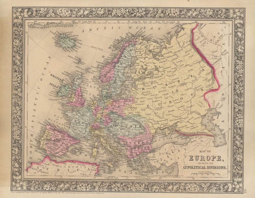
Title: Map of Europe, Showing Its Gt. Political Divisions
Description: New York, S. Augustus Mitchell, Jr. 1860. Folio (15¼" X 12¼", image area 13¼" X 10½"). Hand colored. Very good. Mild age toning. A bright and clean continental map, from the 1864 edition of "Mitchell's New General Atlas, Containing Maps of the Various Countries of the World, Plans of Cities, Etc." A superb example, nicely colored and with fine decorative border. .
Keywords:
See more books from our catalog: Maps
Title: Map of Europe, Showing Its Gt. Political Divisions
Description: New York, S. Augustus Mitchell, Jr. 1860. Folio (15¼" X 12¼", image area 13¼" X 10½"). Hand colored. Very good. Mild age toning. A bright and clean continental map, from the 1864 edition of "Mitchell's New General Atlas, Containing Maps of the Various Countries of the World, Plans of Cities, Etc." A superb example, nicely colored and with fine decorative border. .
Keywords:
Price: US$ 75.00 Seller: Main Street Fine Books & Manuscripts
- Book number: 45846
- Book number: 45846
See more books from our catalog: Maps