Author: ,
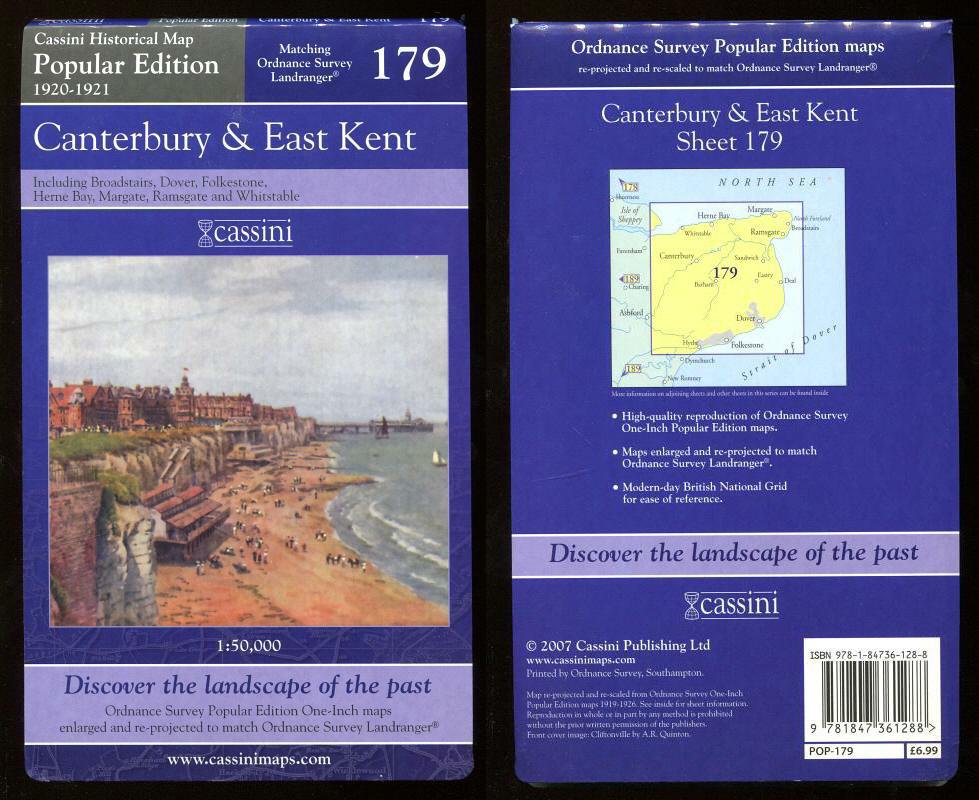
Title: Map of CANTERBURY & EAST KENT, 1920-1921 - Popular Edition HIstorical Map.
Description: Cassini Publishing Ltd., Southampton, 2007 Concertina style folded map on sheet 38" x 24", front cover image Cliftonville, Scale 1:50,000, Ordnance Survey Popular Edition One-Inch map enlarged and re-projected to match the area of Ordnance Survey Landranger 179, Broadstairs, Dover, Folkestone, Herne Bay, Margate, Ramsgate and Whitstable, fine,
Keywords: historical map 1920 1921 canterbury east kent broadstairs dover folkestone herne bay margate ramsgate whitstable
See more books from our catalog: Maps
Title: Map of CANTERBURY & EAST KENT, 1920-1921 - Popular Edition HIstorical Map.
Description: Cassini Publishing Ltd., Southampton, 2007 Concertina style folded map on sheet 38" x 24", front cover image Cliftonville, Scale 1:50,000, Ordnance Survey Popular Edition One-Inch map enlarged and re-projected to match the area of Ordnance Survey Landranger 179, Broadstairs, Dover, Folkestone, Herne Bay, Margate, Ramsgate and Whitstable, fine,
Keywords: historical map 1920 1921 canterbury east kent broadstairs dover folkestone herne bay margate ramsgate whitstable
Price: GBP 12.00 = appr. US$ 17.14 Seller: A Book for all Reasons
- Book number: 44991
- Book number: 44991
See more books from our catalog: Maps