Author: ,
Title: Map of PORTSMOUTH & HAVANT, 1810 to present day in the Past & Present Series,.
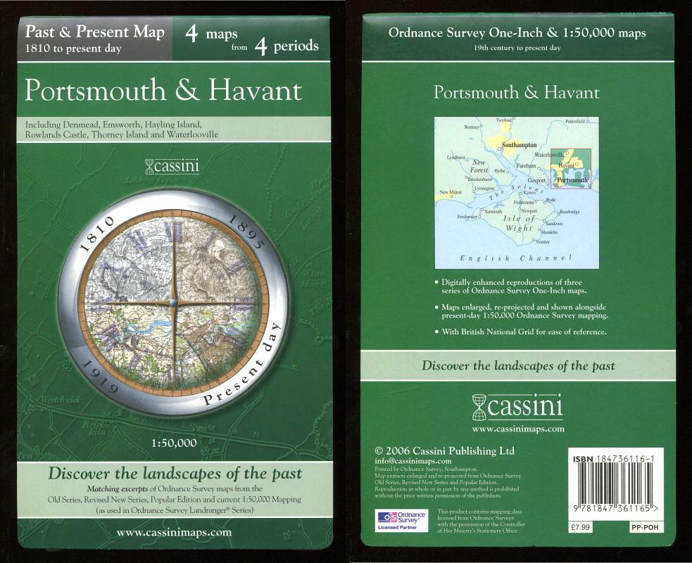
Description: Cassini Publishing Ltd., Southampton, 2006 Concertina style folded map on sheet 38" x 24", Scale 1:50,000, incorporating four maps of Portsmouth and Havant, Ordnance Survey Old Series 1810, OS Revised New Series 1895, OS Popular Edition 1919 and OS Present day mapping data (2006), including Denmead, Emsworth, Hayling Island, Rowlands Castle, Thorney Island and Waterlooville, fine,
Keywords: historical map 1810 1895 1919 portsmouth havant denmead emsworth hayling island rowlands castle thorney waterlooville
See more books from our catalog: Maps
Title: Map of PORTSMOUTH & HAVANT, 1810 to present day in the Past & Present Series,.
Description: Cassini Publishing Ltd., Southampton, 2006 Concertina style folded map on sheet 38" x 24", Scale 1:50,000, incorporating four maps of Portsmouth and Havant, Ordnance Survey Old Series 1810, OS Revised New Series 1895, OS Popular Edition 1919 and OS Present day mapping data (2006), including Denmead, Emsworth, Hayling Island, Rowlands Castle, Thorney Island and Waterlooville, fine,
Keywords: historical map 1810 1895 1919 portsmouth havant denmead emsworth hayling island rowlands castle thorney waterlooville
Price: GBP 12.00 = appr. US$ 17.14 Seller: A Book for all Reasons
- Book number: 44990
- Book number: 44990
See more books from our catalog: Maps