Author: ,
Title: Map of NORWICH & THE BROADS - 1837-1838 - Historical Map Old Series Matching Ordnance Survey Landranger 134.
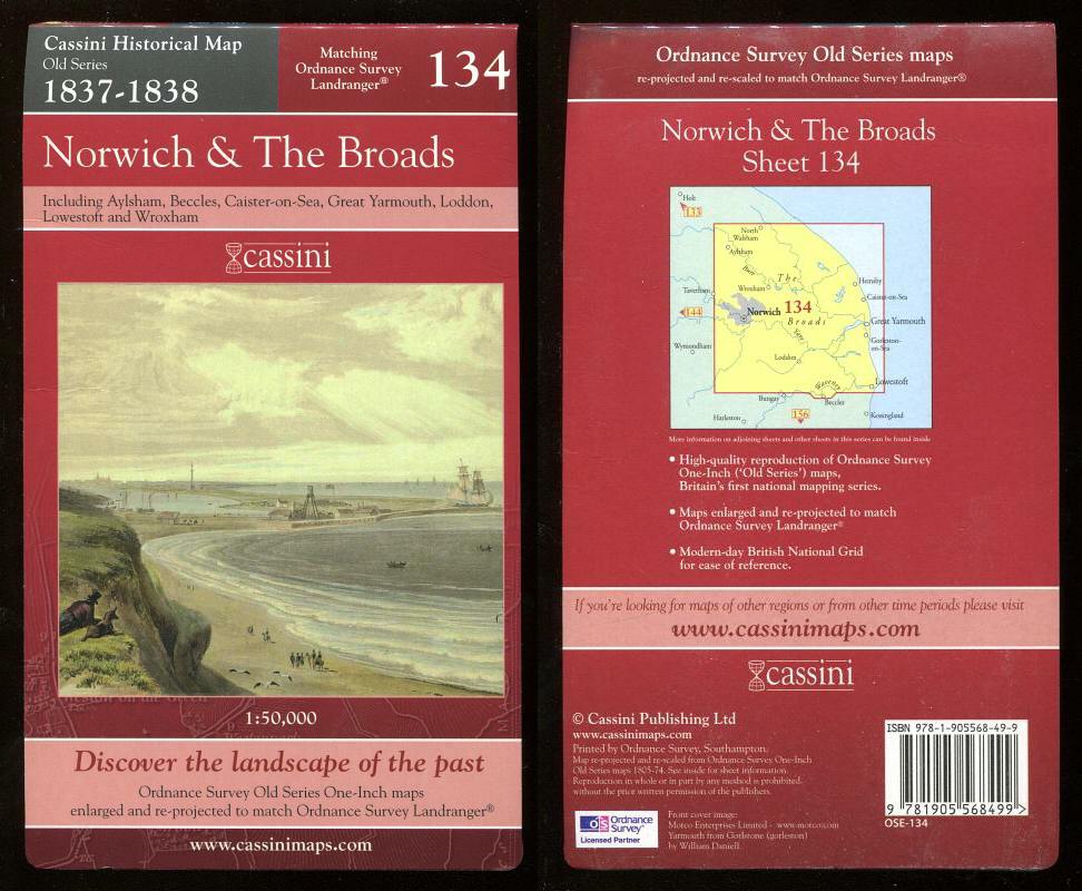
Description: Cassini Publishing Ltd., Southampton, 2006 Concertina style folded map on sheet 38" x 24", front cover image Yarmouth from Gorlstone (sic), Scale 1:50,000, Ordnance Survey Old Series One-Inch map enlarged and re-projected to match the area of Ordnance Survey Landranger 134, including Aylsham, Beccles, Caister on Sea, Great Yarmouth, Loddon, Lowestoft, Stalham and Wroxham, fine,
Keywords: historical map 1837 1838 norwich broads aylsham beccles caister great yarmouth loddon lowestoft stalham wroxham
See more books from our catalog: Maps
Title: Map of NORWICH & THE BROADS - 1837-1838 - Historical Map Old Series Matching Ordnance Survey Landranger 134.
Description: Cassini Publishing Ltd., Southampton, 2006 Concertina style folded map on sheet 38" x 24", front cover image Yarmouth from Gorlstone (sic), Scale 1:50,000, Ordnance Survey Old Series One-Inch map enlarged and re-projected to match the area of Ordnance Survey Landranger 134, including Aylsham, Beccles, Caister on Sea, Great Yarmouth, Loddon, Lowestoft, Stalham and Wroxham, fine,
Keywords: historical map 1837 1838 norwich broads aylsham beccles caister great yarmouth loddon lowestoft stalham wroxham
Price: GBP 12.00 = appr. US$ 17.14 Seller: A Book for all Reasons
- Book number: 44106
- Book number: 44106
See more books from our catalog: Maps