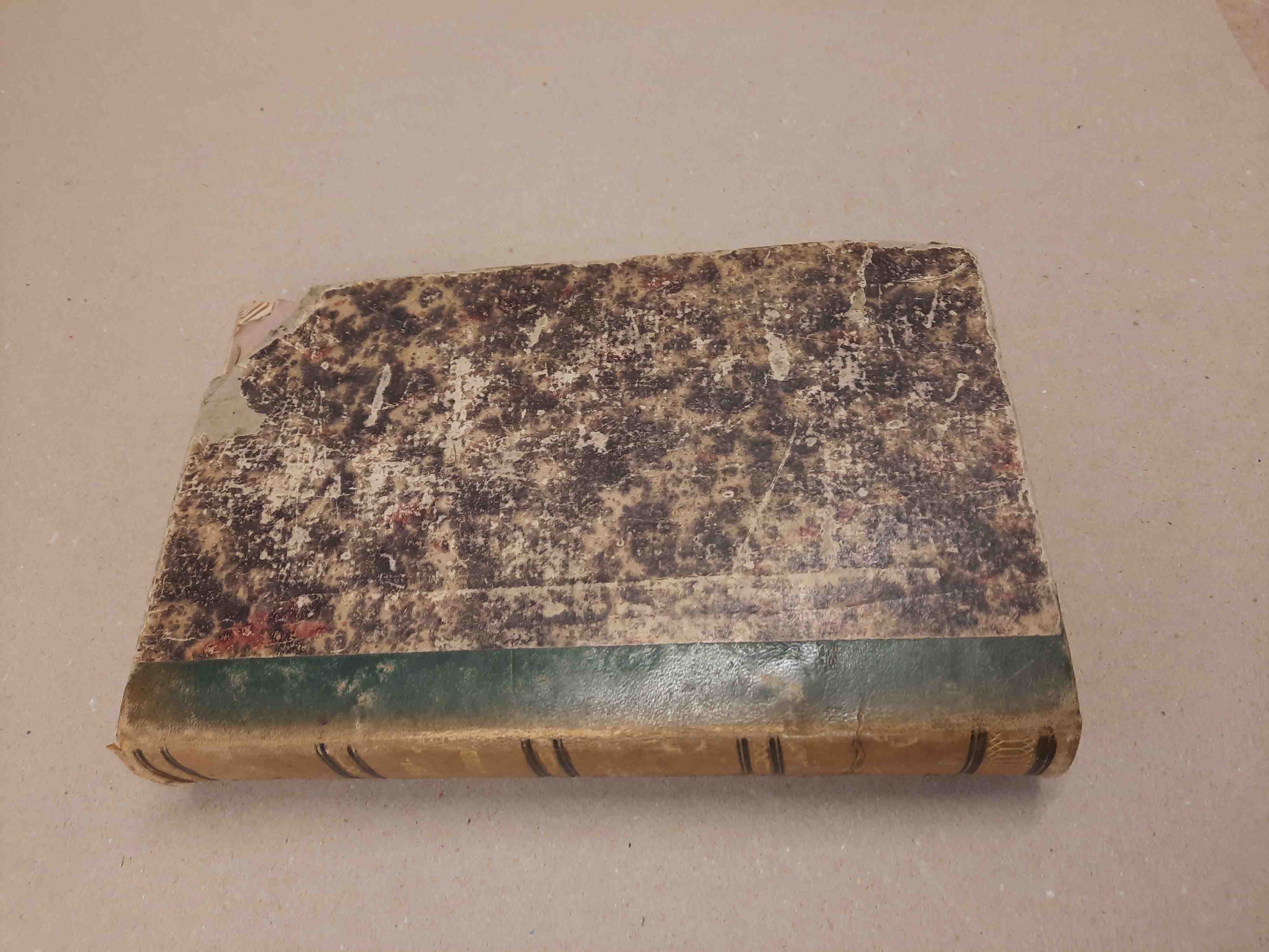
Author: Graff, Georg
Title: Schul-Atlas der Alten Geographie. zunachst zum gebrauche der geograph. Lehrbucher von Dr. S. Chr. Schirlitz entworfen und gezeichnet von Georg Graff
Description: Verlag Richard Mühlmann, 1845. Half leather binding with strenthened leather corners. 4to. -(The atlas is in good condition according to its age. Binding a bit scraped, corners slightly bumped, the leather on the spine is torn at bottom and top, paper has age-related spots and is browning, pages partly stained ). Welttafel des Homeros und Erdansicht des Herodotos; Bewohnte Erdtafel des Eratoshenes und Charte des Ptolmäus; Griechenland. Moesia, Makedonia, Illyris, Thrake mit den griechischen Inseln; Sarmatia, Chesonesos Taur; Dakia, Kolchis, Iberia und Albanien; Italia und Illyria barbara; Gallia, Britannia und Hibernia; Hispania; Germania und Süd-Donau-Länder; Asia minor, Armenia maior, Mesopotamia u. Syria; Asia maior; Palaestine, Phönike, Kölesyria, Aegyptos, Aethiopia und Israel´s Stämme; Africa oder Libyen; Imperium Augusti; Athenae, Roma, Ilion, Sparta.
Keywords:
Price: EUR 150.00 = appr. US$ 163.03 Seller: Antiquariaat Berger & De Vries
- Book number: 67567-A-62919
- Book number: 67567-A-62919