Author: L'ISLE (DELISLE), Joseph Nicolas de.
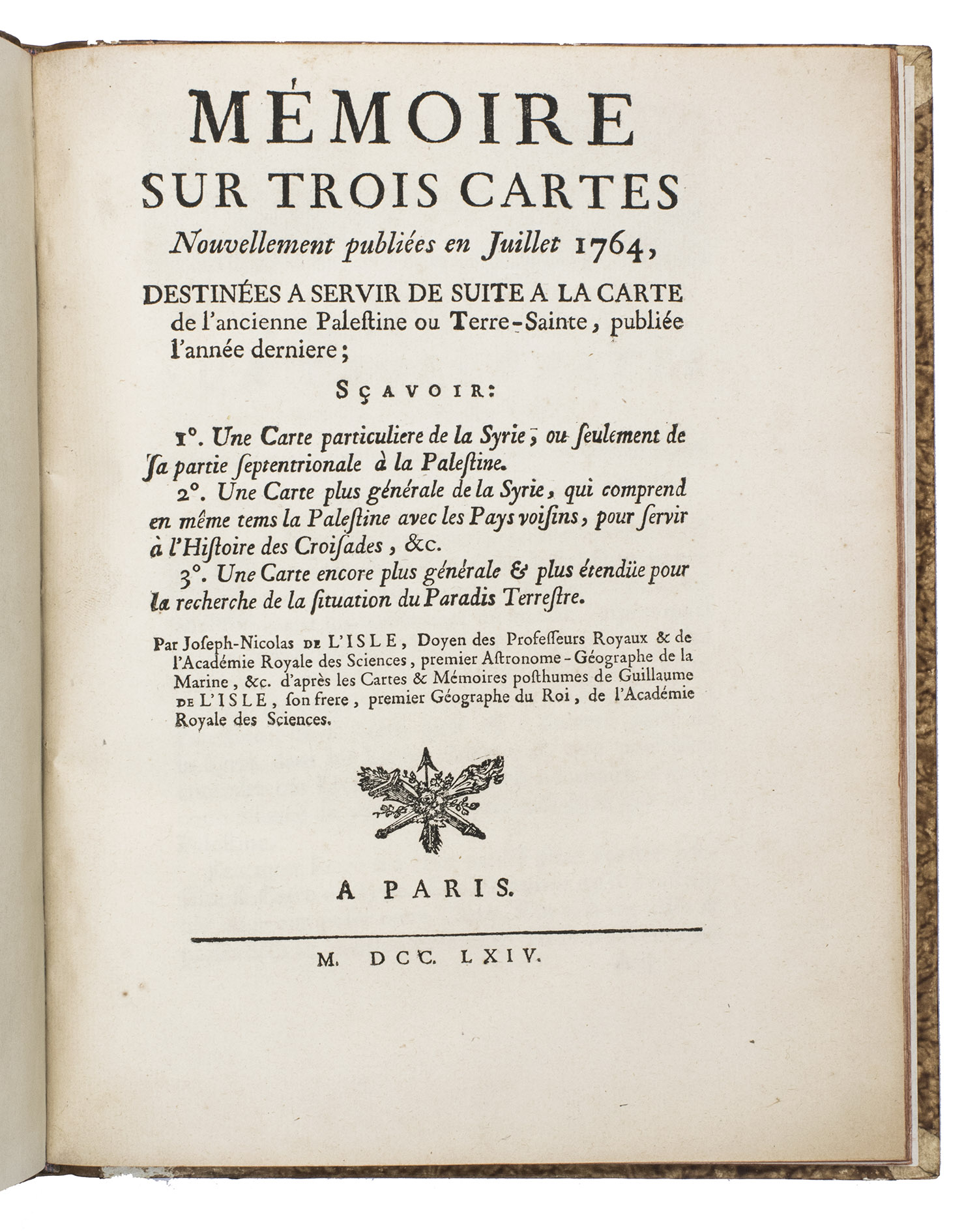
Title: Mémoire sur trois cartes nouvellement publiées en juillet 1764, destinées a servir de suite a la carte de l'ancienne Palestine ou Terre-Sainte, publie l'année dernière; Sçavoir: 1. Une carte particuliere de la Syrie, ou seulement de la partie septentrionale à la Palestine. 2. Une carte plus générale de la Syrie, qui comprend en même tems la Palestine avec les pays voisins, pour servir à l'histoire des croisades, etc. 3. Une carte encore plus générale & plus étendüe pour la recherche de la situation du paradis terrestre. Paris, Imprimerie Veuve Delatour, 1764. 4to. With a woodcut vignette on the title page, a large woodcut headpiece, and a decorated woodcut initial. Contemporary gold-tooled mottled quarter brown calf.
Description: 15, [1] pp.First and only edition of a rare treatise on three maps of Syria by the famous cartographer Guillaume de l'Isle (1675-1726). Namely Carte particuliere de la Syrie comprise entre les villes d'Antioche et Alep (1764), Carte générale de la Syrie, de la Palestine, et de l'Isle de Chypre (1764), and Paradisi terrestris (1764). The maps were published posthumously by his brother, Joseph-Nicolas de l'Isle (1688-1768), who had found them in Guillaume's belongings, and considered them to be of significant importance. In the present work he explains why. The treatise is very rare, as we have only been able to trace one other copy in sales records and seven in libraries.Joseph-Nicolas was a mathematician and astronomer. In 1721, he was asked by Peter the Great to help found an observatory in Russia. He stayed for 22 years, training many astronomers and researching the eclipses of Jupiter's moons. He returned to Paris with an important collection of maps and astronomical material. His brother Guillaume was one of the most prominent figures at the beginning of the 18th century. It is said that at the age of eight he already could draw maps, and he was regarded as an infant prodigy. In 1699 he produced a map of the world, maps of the four continents and two globes, terrestrial and celestial. He was elected member of the academy in 1702 and in 1718 made "Premier Géographe du Roi". The boards are lightly rubbed, missing a small chip of paper on the lower back turn-in. The work is lightly browned throughout. Otherwise in very good condition.l Conlon 64:1002; WorldCat 54265563, 892837441 (7 copies); cf. Dictionary of scientific biography 4, pp. 22-24; Tooley, Dictionary of Mapmakers, p. 395; not in Pastoureau; Tobler.
Keywords: [9EE06DC76F16] ASIA|[9EE06DC76F16] ASIA -> [C4A78A11DA49] Cartography & Exploration|[9EE06DC76F16] ASIA -> [H9DK9EDSCHIJ] Central & West Asia|[G8L0P27N9XV3] MIDDLE EAST & ISLAMIC WORLD|[G8L0P27N9XV3] MIDDLE EAST & ISLAMIC WORLD -> [G8L0QHBG4RHL] Cartograp
Price: EUR 2700.00 = appr. US$ 2934.49 Seller: A. Asher & Co. B.V.
- Book number: 23140
- Book number: 23140