Author: U.S. Geological Survey
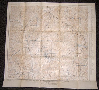
Title: Map of the Warm Springs Creek Mining District and Adjoining Parts of Alta and Little Wood River Mining Districts, Showing Principal Claims
Description: Washington, D.C.: U.S. Geological Survey, 1930. Bulletin 814, Plate 10. From Hailey Quadrangle, surveyed 1894-95. Map measuring 23 x 25 inches when unfolded. Near fine. .
Keywords:
See more books from our catalog: Ephemera
Title: Map of the Warm Springs Creek Mining District and Adjoining Parts of Alta and Little Wood River Mining Districts, Showing Principal Claims
Description: Washington, D.C.: U.S. Geological Survey, 1930. Bulletin 814, Plate 10. From Hailey Quadrangle, surveyed 1894-95. Map measuring 23 x 25 inches when unfolded. Near fine. .
Keywords:
Price: US$ 100.00 Seller: Wittenborn Art Books
- Book number: 12-0026
- Book number: 12-0026
See more books from our catalog: Ephemera