Author: INGLIS, HARRY R G
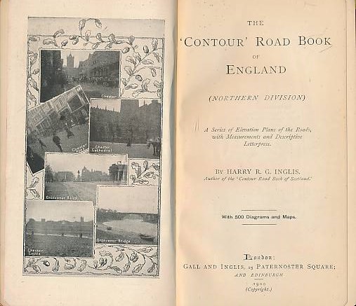
Title: The "Contour" Road Map of England. Northern Division
Description: London: Gall & Inglis, 1900. Reprint. Maroon hardback cloth cover. 160mm x 90mm (6" x 4"). 15pp, xvi, 265pp, 24pp, + ads. 500 Maps & Plans.. G : in Good condition without dust jacket. Cover rubbed. Spine faded .
Keywords: Maps Atlas 1850 - 1900 Antiquarian
See more books from our catalog: Maps
Title: The "Contour" Road Map of England. Northern Division
Description: London: Gall & Inglis, 1900. Reprint. Maroon hardback cloth cover. 160mm x 90mm (6" x 4"). 15pp, xvi, 265pp, 24pp, + ads. 500 Maps & Plans.. G : in Good condition without dust jacket. Cover rubbed. Spine faded .
Keywords: Maps Atlas 1850 - 1900 Antiquarian
Price: GBP 24.00 = appr. US$ 34.27 Seller: Barter Books
- Book number: map10d
- Book number: map10d
See more books from our catalog: Maps