Author: Town Clerk's Office
Title: Lincoln Street Plan 1947. Scale approx. 4 inches to a mile
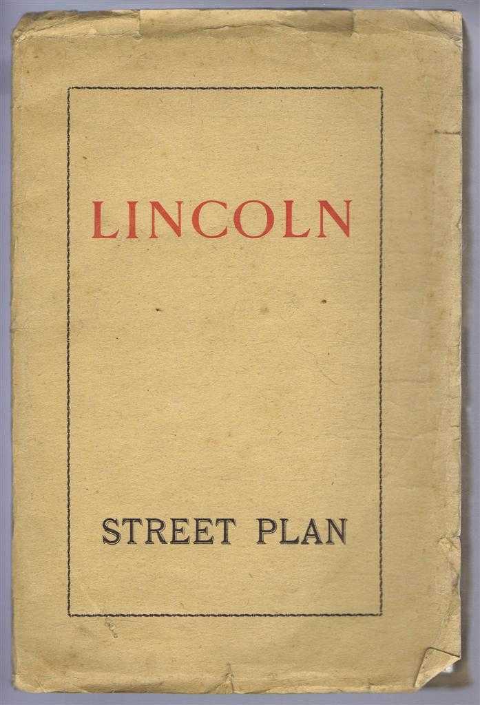
Description: G W May Ltd, London, 1947. First Edition, Softcover. Good Condition/No Dust Jacket. Large fold-out map (64cm by 83cm) with four "pages" of text on the reverse and with advertisement and street index in the margins. Brown paper covers are rubbed at edges. Minor splitting on some folds, some streets in St Giles area have been cross-hatched in blue by hand, an indirect route from the Cathedral to Altham Terrace has been marked in red by hand and A Road numbers and names have been added in blue by hand on the south east corner of the map. No dust jacket, as published. Quantity Available: 1. Shipped Weight: under 1 kg. Pictures of this item not already displayed here available upon request. Inventory No: 50116090062. ISBN: 0901538329
Keywords: BZDB4 Lincoln, map, British history Lincoln & Lincolnshire; British History; Maps. Town Clerk's Office Lincoln Street Plan 1947. Scale approx. 4 inches to a mile British History Maps
See more books from our catalog: Lincoln & Lincolnshire
Title: Lincoln Street Plan 1947. Scale approx. 4 inches to a mile
Description: G W May Ltd, London, 1947. First Edition, Softcover. Good Condition/No Dust Jacket. Large fold-out map (64cm by 83cm) with four "pages" of text on the reverse and with advertisement and street index in the margins. Brown paper covers are rubbed at edges. Minor splitting on some folds, some streets in St Giles area have been cross-hatched in blue by hand, an indirect route from the Cathedral to Altham Terrace has been marked in red by hand and A Road numbers and names have been added in blue by hand on the south east corner of the map. No dust jacket, as published. Quantity Available: 1. Shipped Weight: under 1 kg. Pictures of this item not already displayed here available upon request. Inventory No: 50116090062. ISBN: 0901538329
Keywords: BZDB4 Lincoln, map, British history Lincoln & Lincolnshire; British History; Maps. Town Clerk's Office Lincoln Street Plan 1947. Scale approx. 4 inches to a mile British History Maps
Price: GBP 13.00 = appr. US$ 18.56 Seller: Bailgate Books Ltd
- Book number: 50116090062
- Book number: 50116090062
See more books from our catalog: Lincoln & Lincolnshire